Google Earth is a tech tool that allows students to explore our beautiful planet. When students visit Google Earth they are brought to a 3D interactive picture of Earth. Through the use of satelitte pictures students can zoom in on any part of the globe to get a closer look at the geography, landscape, cities, etc.
Besides zooming in on the globe, students can search for specific cities or landmarks and they will fly right to that location. Students can also use street view to walk around the city as if they are really there.
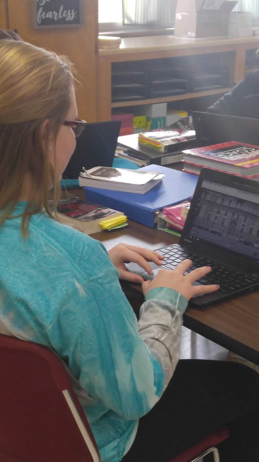
I recently worked with Mrs. Becker's ELA class to bring the books they are reading in their lit. circles to life. Students were able to visit the cities their stories are taking place in, places their characters work, and get a sense as to the layout of the area their characters are living in.


Social Studies Warm-up
Randomly select a location in the world and relate it to the concepts you are discussing in class. Here is a lesson plan explaining this idea. Here is another interesting Social Studies/ Geography idea.
Geometry Around the World
Here is an activity that has students explore the geometry that makes up some fascinating architecture around the world.
ABC's from Earth
This activity takes students around the world finding land forms that create letters of the alphabet.
Volcanoes
Students can view volcanoes around the world. Students visit the volcanoes, research them right in Google Earth, and compare and contrast their findings.
Weather Radar & Temperature Layers
Using a variety of layers, you can discuss a variety of topics in your science classroom.
Ways to use Google Earth in Your Classroom
Bring Books To LifeI recently worked with Mrs. Becker's ELA class to bring the books they are reading in their lit. circles to life. Students were able to visit the cities their stories are taking place in, places their characters work, and get a sense as to the layout of the area their characters are living in.

Social Studies Warm-up
Randomly select a location in the world and relate it to the concepts you are discussing in class. Here is a lesson plan explaining this idea. Here is another interesting Social Studies/ Geography idea.
Geometry Around the World
Here is an activity that has students explore the geometry that makes up some fascinating architecture around the world.
ABC's from Earth
This activity takes students around the world finding land forms that create letters of the alphabet.
Volcanoes
Students can view volcanoes around the world. Students visit the volcanoes, research them right in Google Earth, and compare and contrast their findings.
Weather Radar & Temperature Layers
Using a variety of layers, you can discuss a variety of topics in your science classroom.
Comments
Post a Comment